If you are a fan of knowing everything about geography, you have surely ever considered measuring the height above sea level in Google Maps .
The Google maps application is very complete, and allows us to know practically any information about the geography of a specific place. Therefore, as expected we can also see how high above sea level any place in the world is . Furthermore, it is not a complicated or too hidden function. You simply have to know the steps to follow to discover the altitude of the site that interests you.
How to know how high I am above sea level on Google Maps
Knowing the height above sea level on Google Maps where we are right now is something quite simple.
The only thing we will have to do is open the Google Maps application. The map of the place where we are at that moment will appear on the screen , since the application usually asks us to have the location activated in order to use it. Therefore, if what we want is to consult the altitude at which we are at that moment, it will not be necessary for us to do any search, since we will already have the place on the screen.
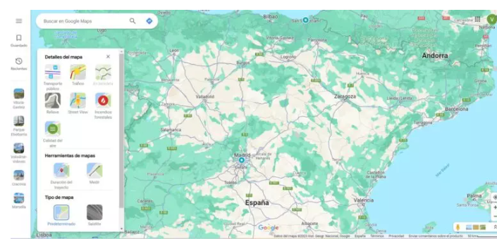
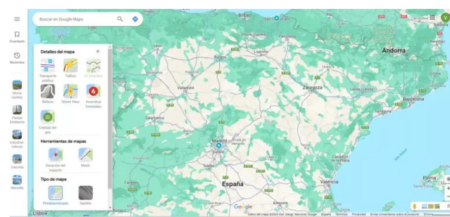
Next we will click on the button with two squares one above the other that we will see on the right side of our smartphone. At that moment a menu will open with the different types of map that we can access: Standard, Satellite or Relief. To know our altitude, we will have to select the Relief option .
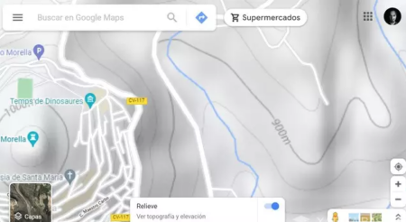
In the Relief view, we can see the lines that mark the relief of the area in which we are. And in each of those lines a number will appear . And that is the way to know the height above sea level in Google Maps. The number that will appear on the line around the exact point where we are is the altitude with respect to sea level of the place where we are at that moment.
How to know the height of a place above sea level in Google Maps
If we want to know the height above sea level in Google Maps of a place different from the one we are at that moment, the process is very similar. Simply, when we open the app we will first have to go to the search engine of the site we want to know the altitude of. There we will write the name of the place we want to have information about. Once that place appears on the screen of our smartphone, we can enter the Relief view to see the lines that mark the height at which the place is.
In the event that we later want to look for another place, it will not be necessary for us to leave the Relief view . We can search for any place and it will appear directly in Relief, so that we can quickly find the altitude.
It must be taken into account that the line that shows us the height above sea level in Google Maps will appear very thin, and the numbers that indicate said height will appear very small. Therefore, to really see this data you will have to zoom in . And it is even possible that it may take some work for you to see this data on your mobile. Therefore, if you have the possibility to do so, it will surely be more comfortable to use the computer for this.
As you can see, it is a fairly simple process, although the way in which this information is shown is not as convenient as the coordinates or the distance between two points, which appear much more clearly. But if you need to know the altitude of a place, it will be as simple as changing the map type .